This is an old revision of the document!
Table of Contents
Terrestrial Fibre Optic Networks
Examples of Good Practice
Dark Fibre Africa
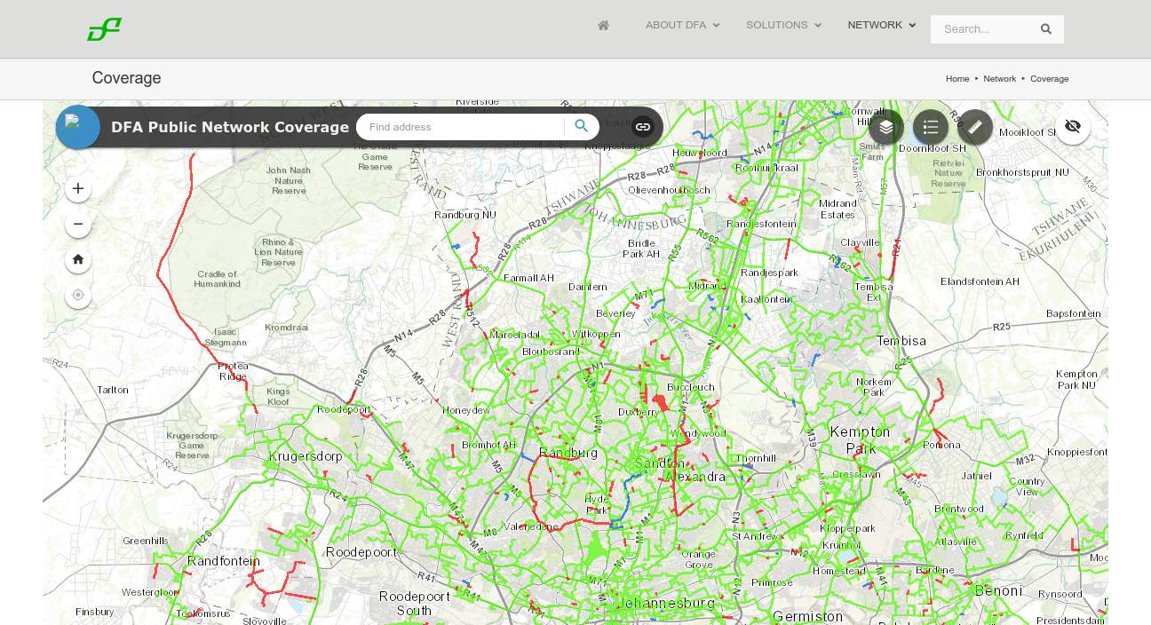 Dark Fibre Africa maintain a detailed map of their South African fibre optic network online. They used to have a downloadable KML version of the map on their website but a link to that has been removed. They maintain their map on an ArcGIS enterprise server which can be accessed via a public API, making it available to other GIS applications. It isn't clear whether this is intentional or not.
Open EIR
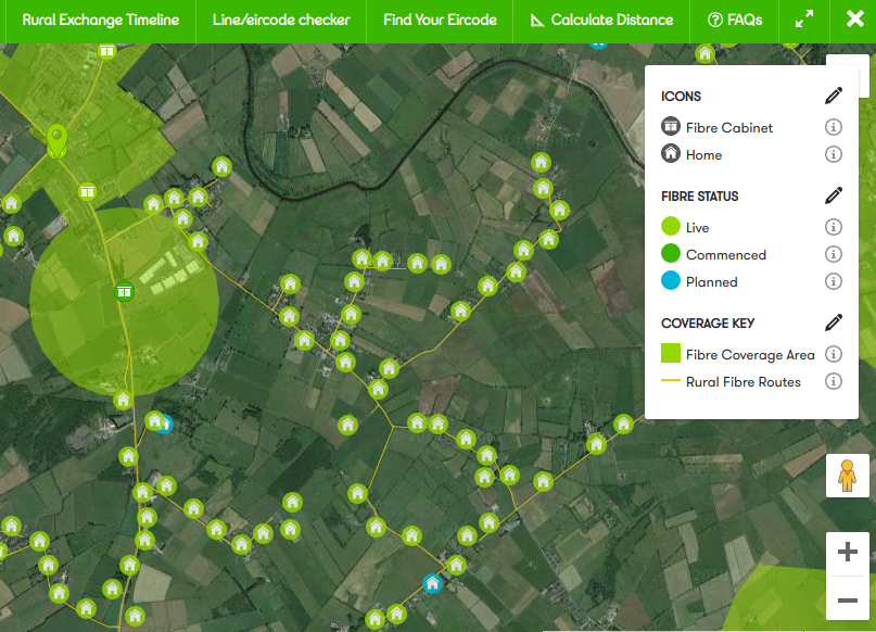 Open EIR is the former state-owned telecommunications monopoly in Ireland. They publish a detailed public map of their fibre network roll-out right down to details of the fibre cabinet, fibre routes, connected buildings, and planned connection. The map is overlaid by default of a Google satellite view background which makes for an impressively detailed map.
Liquid Telecom
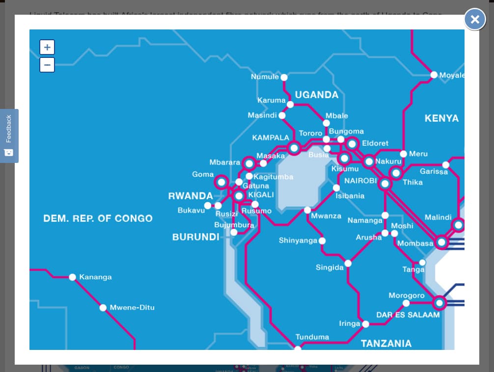 Pan African fibre optic network operator Liquid Telecom maintain a map of their fibre network on their website. While this map is generally helpful, it doesn't display point of presence, nor does it reveal the specific routes that the fibre follows. This is one step up from not displaying a coverage map at all but falls short of being useful for strategic planning.